Location & Climate
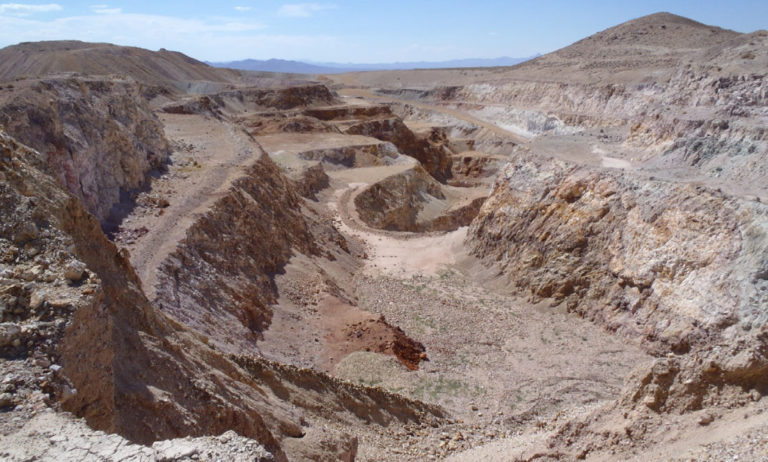
The Jungo Property is located in the Jackson Mountains Terrane, a lithotectonic package comprising Jurassic island arc volcanic, sedimentary and intrusive rocks.
- The Property (formerly known as the Shawnee Creek Property) is located 25 km NE of the Hycroft mine (approx. 25 Moz gold global resource) and 45 km SW of the Sleeper deposit (approx. 7 Moz gold global resource).
- The property has received over $800,000 of exploration work since the 1990’s; Avidian has all the exploration data.
- 19.6 sq km in area, comprising 235 unpatented claims 100% owned by Avidian; 35 of the claims are subject to a 2% NSR.
Geology & Mineralization
The Jungo property is comprised of Jurassic to Cretaceous stocks and dikes ranging from granodiorite to diorite intruding Triassic/Jurassic volcanic and sedimentary rocks.
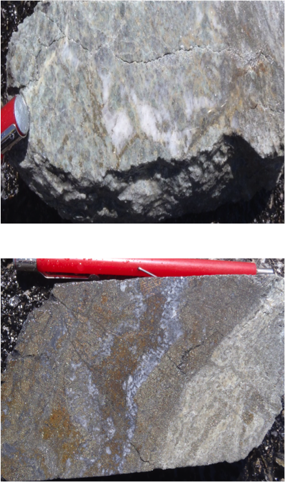
- All mineralization appears to be related to intrusions or structures. The majority of the mineralization occurs within sheared, strongly clay altered zones that locally contain gossan pods and stringers along with silicified fault breccia or fault gouge. The gossan pods are from oxidized, semi-massive sulphide zones that have been intersected in drilling.
- Surface gold mineralization greater than 1 g/t occurs in a NNE-trending zone with over 5 km of strike length. This zone appears to be localized by a structural corridor and is also manifested by high chargeability and apparent resistivity.
Project History
- Most of the historical drilling stopped short of testing their targets and may have been drilled down dip to the mineralized targets.
- Geophysics suggests the presence of sulphide in association with intrusions with the IP data suggesting multiple phases of mineralization. The geophysical signatures are coincident with Au & As mineralization and structural NNE trends.
- Many geophysical and geologic targets remain untested along the 5 km mineralized trend, with only a small fraction of this system (< 1.5 km) partially tested to date.
-
- Historical trench results include:
- 6.10 m @ 2.12 g/t Au
- 3.05 m @ 2.36 g/t Au
- Historical drill intersections include:

- 4.27 m @ 1.67 g/t Au, 57.7 g/t Ag, 2.72% Cu,
- 1.52 m @ 2.50 g/t Au, 71.6 g/t Ag, 0.67% Cu.
- 12.19 m @ 1.29 g/t Au, 28.6 g/t Ag, 0.72% Cu
- Historical trench results include:
Climate
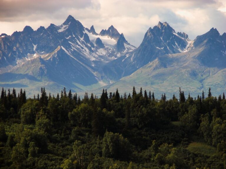
The climate in the Project area is mountain continental but has a maritime influence in the summer because of its proximity to the coast and the warm Japanese current emanating from the Gulf of Alaska. The effective season for field exploration operations in the Project area runs from June through late September or early October. Mine operations in the region with supporting infrastructure, can operate year-round.
Infrastructure
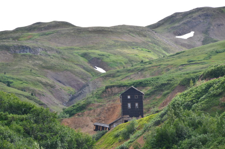
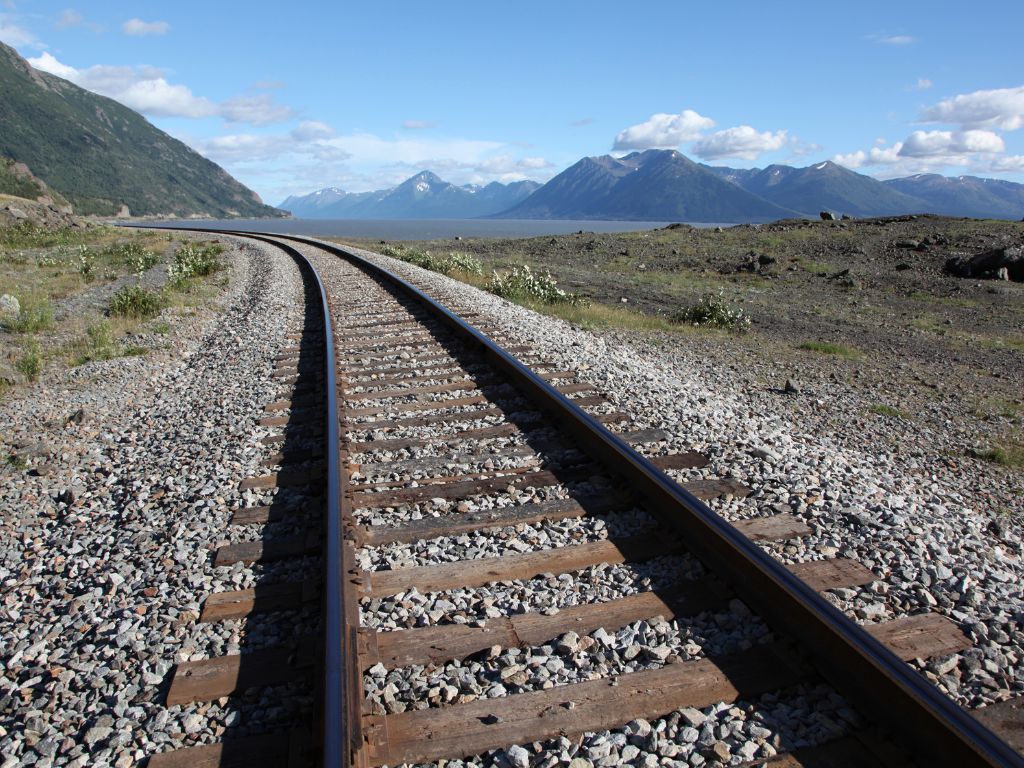
The property is located about 10 kms from the main transportation corridor between Anchorage and Fairbanks which contains the George Parks Highway (Alaska Route 3), the Alaska Railroad and the 345Kv Alaska Intertie.
A 610 m gravel airstrip is located at Colorado Station and a 365 m airstrip is located within the upland lease on the access road approximately 1 km northeast of the Golden Zone camp.
Technical Report
The property contains the Breccia Pipe Deposit that hosts a 2017 NI 43-101 Indicated resource of 267,400 ounces Au and 1,397,800 oz Ag (4,187,000 tonnes at 1.99 g/t Au & 10.38 g/t Ag).


